Routes Done, Streets Covered

With Proof on File

Missed-pickup calls end fast when you can replay the route. Geotab shows route completion live.

  • Stop detection, street by street, logged automatically
  • Resident complaints resolved with trip history
  • Faults ranked by severity, worst first
Every Street, Every Day

The Route, Verified

Supervisors see progress live, and the office answers calls with the route record on screen.

  • Route completion tracking. See covered streets and remaining stops in real time.
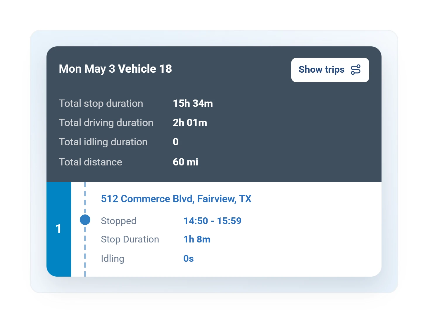
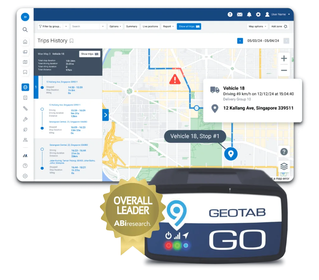
  • Trip history on demand. Replay any truck, any street, any day, in seconds.
  • Maintenance for hard duty. Faults ranked by breakdown risk, so a failing packer is caught in the yard, not mid-route.
  • Driver accountability. Alley habits ranked per driver and coached before the claim.
Trips history in MyGeotab: the route replayed stop by stop with durations

What Changes

Missed-Street Complaints Closed in One Screen

Complaints closed fast

The office pulls the replay and settles it on the spot, so dispatch stops re-sending trucks to streets that were already serviced.

See it in MyGeotab
Fewer missed streets

Live completion tracking catches gaps same-day.

Trucks that last

The packer most likely to fail is flagged first, so it sees the shop on your schedule, not mid-route.

The backing and alley claims

360-degree coverage plus collision detection means every claim comes with footage, and the bogus ones stop costing deductibles.

Our Advice

Hardware for Packers, Roll-Offs, and Route Proof

We plan camera positions per body type (side loader, rear loader, roll-off) before anything ships, so the views match how your trucks actually work.

Start a Free Pilot Today

Built for the route

Route Zones, Exception Alerts, and Completion Reports

Every street, every week, with proof on file. Here is how we set up a waste fleet so a complaint gets a straight answer from the record, fast.

  1. ZoneRoute 1201Routes drawn as geofences

    Your service area split into zones; coverage is measured against the plan.

  2. RuleOff-route02Exception alerts tuned

    Off-route trucks, skipped zones, and long idles flagged same-day on thresholds we set with you.

  3. CoachingAlley driving03Driver coaching set up

    Tight-street and alley driving ranked per driver, so supervisors coach the one most likely to cause the next claim.

  4. RuleIdle 10 min04Idle and fuel rules

    Rules target the worst trucks first, where the fuel savings are largest.

  5. ReportMon 6 AM05Reports on a schedule

    Completion and event reports to supervisors and contract managers, on a schedule.

  6. MapCitizen Insights06Citizen Insights option

    For municipal contracts, a resident-facing service map, set up if your contract calls for it.

Configuration

Routes as Geofences, Answers on the Record

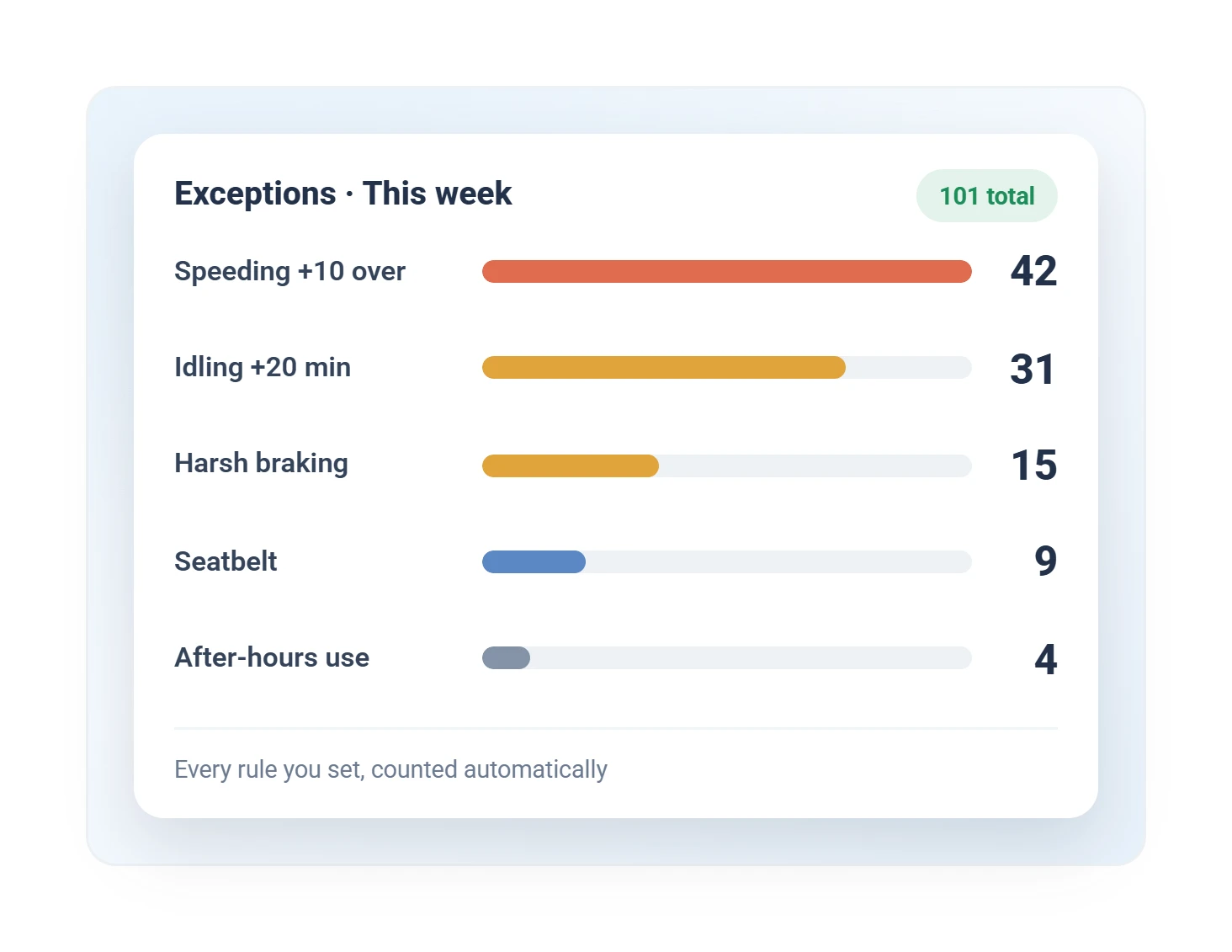
Exceptions report ranking idle, harsh driving, and speeding rule violations, emailed on the record

Route Truth

Stop Detection, Street by Street

Stop detection logs each street as the truck works it, and what is left to run shows as a live count, truck by truck. The gap list is ready before the phones ring, and yesterday's replay is on file if a resident calls anyway.

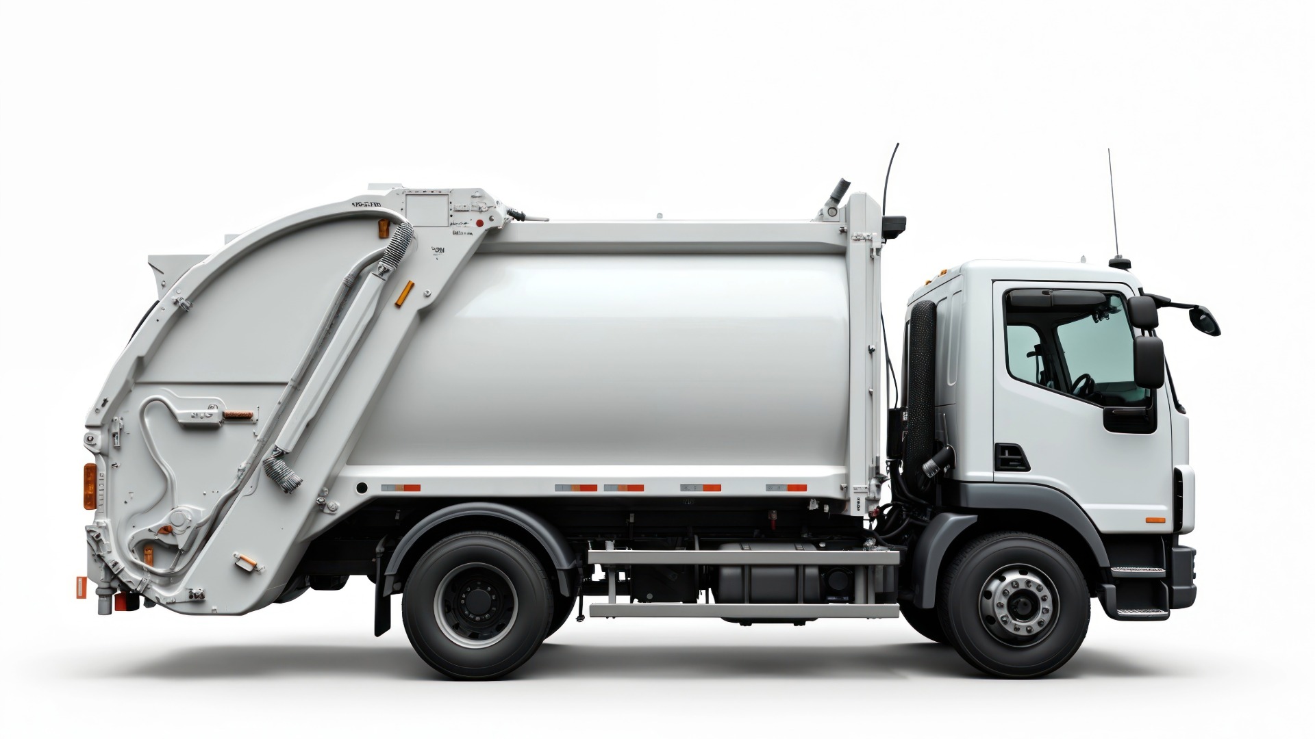
Rear-loader collection truck with a route progress widget pinned to the cab

Questions

Sanitation and Waste FAQ

Can it verify routes were completed?

Yes. Route history and geofences confirm every stop and street was serviced, with proof for residents and management.

Does it hold up on heavy trucks?

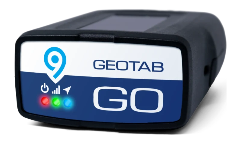
A sealed heavy-duty unit (GO Rugged) shrugs off washdowns and vibration, so tracking keeps working on packers and roll-offs.

Can it reduce fuel and idling waste?

Idle data ranks the worst trucks first, so coaching starts where fuel is burning. Most fleets see idling fall once it is visible and coached.

Can cameras cover the hopper and the arm, not just the road?

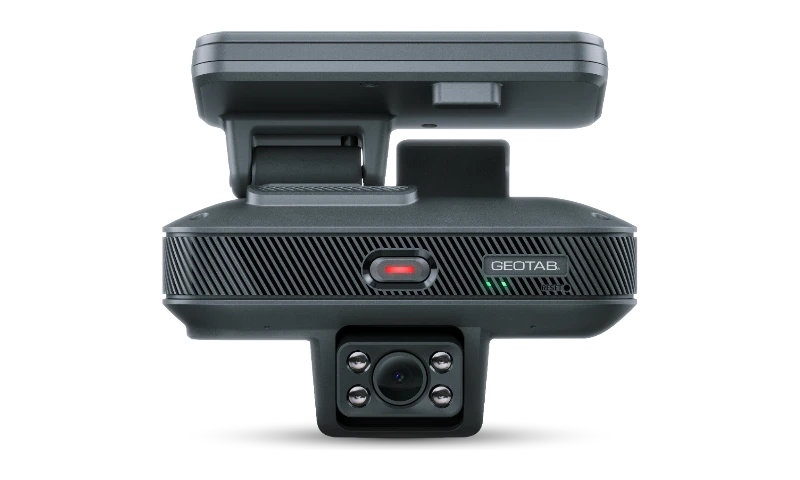
Yes. Position the aux cameras where you need them: curb side, hopper, rear. That is service proof and load-dispute footage from the same system that scores driving.

A resident says our truck hit their mailbox. Now what?

Pull the event. If there was an impact, collision detection logged it with time, location, and footage. If there was not, the replay shows the truck's exact path. Either way you answer with evidence instead of an apology.

Can residents see service status so they stop calling?

For municipal operations, yes. Geotab's Citizen Insights add-on publishes a public service map (with a privacy delay you control) showing what has been serviced. Ask us whether it fits your contract structure.

“The Active Tracking feature paired with your camera solution has positively affected everything. From driver safety, to truck maintenance, to proving false claims of missed pick-ups...it’s my peace of mind.”
All Star Waste, Benson, NC

Every Street Documented

Put a demo device on one route truck and watch a week of verified service appear.

Prefer to talk? Call (877) 771-2236.