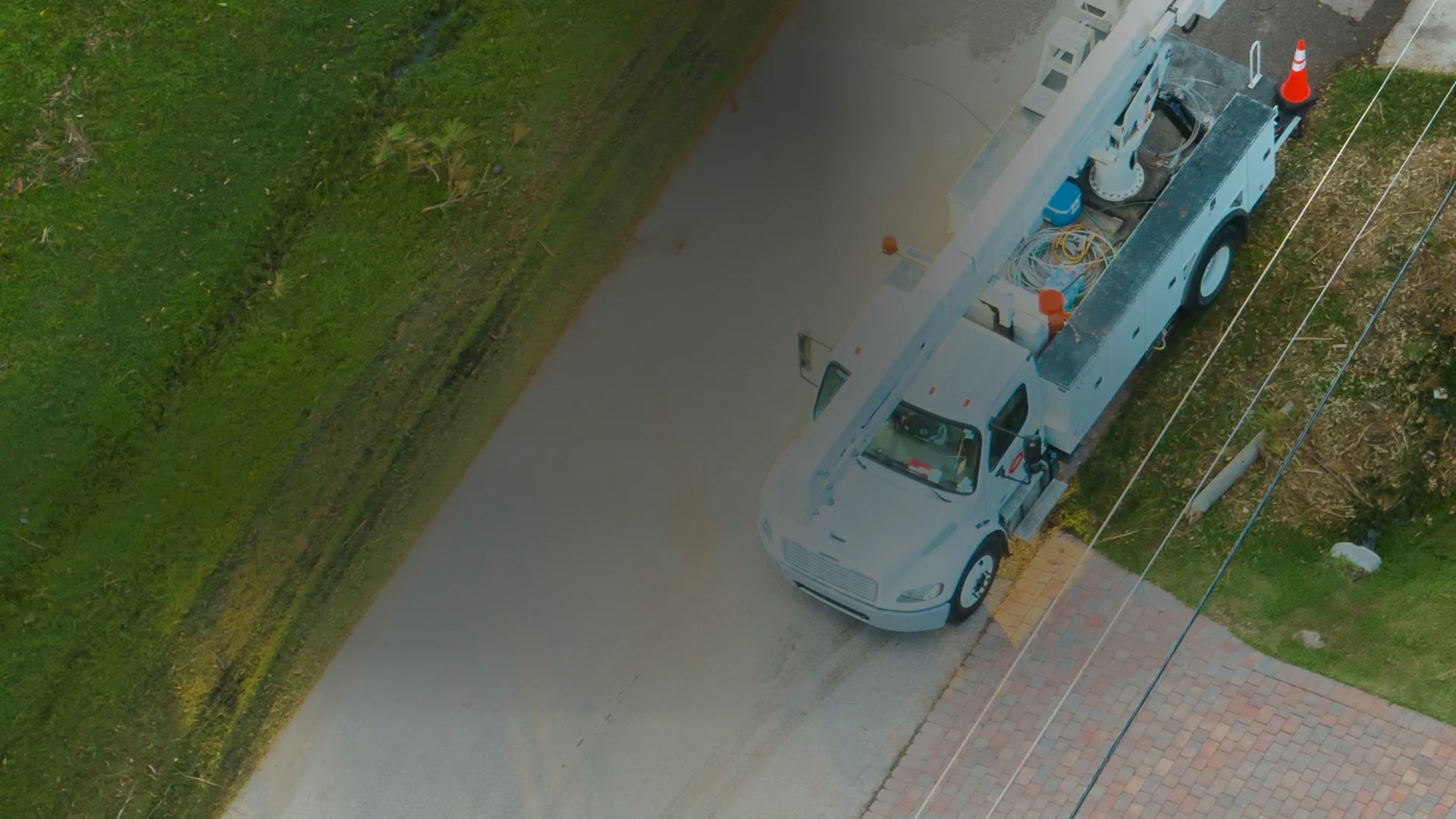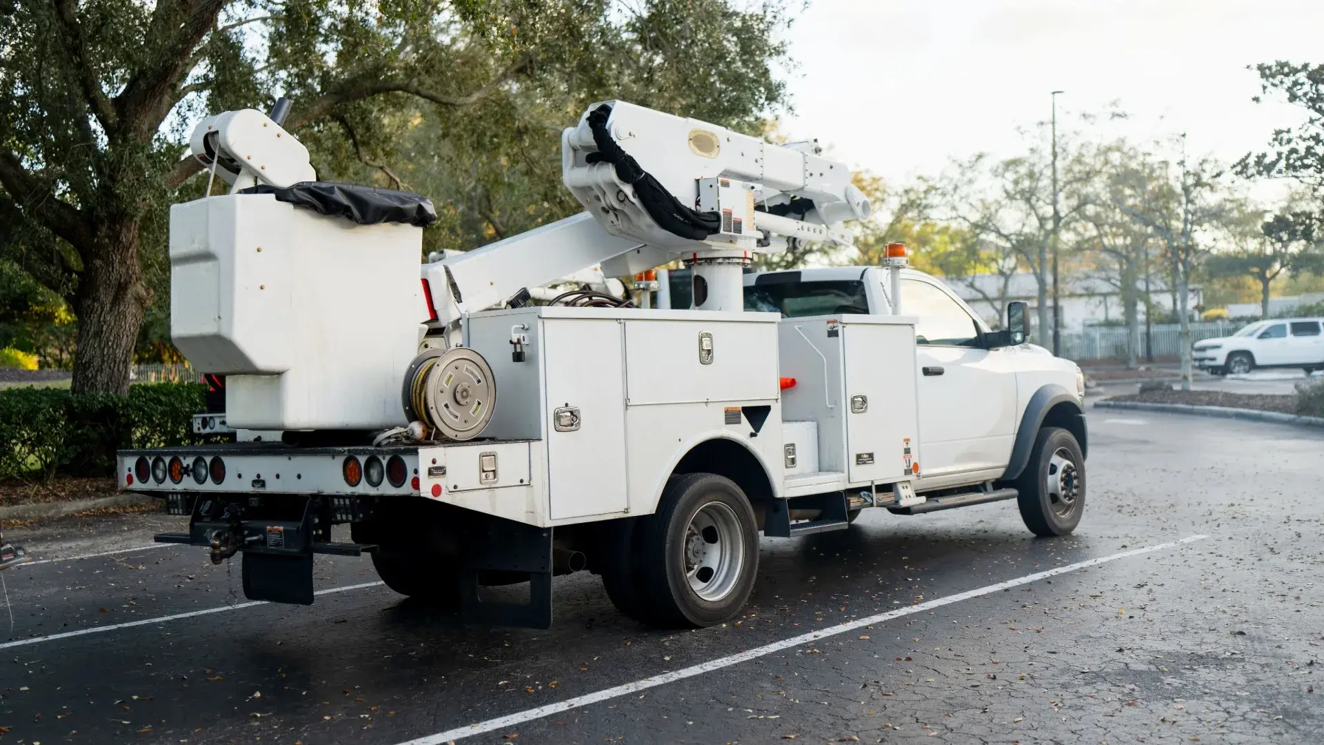
White utility bucket truck with its boom stowed in a parking lot, the line crew vehicle Geotab tracks for outage response

Geotab Utility Fleet Management Outage Response, Dispatched

From One Live Map

  • Closest Crew to the Outage in One Click
  • Battery Trackers on Staged Generators, No Wiring
  • Collision Risk Modeled on Nearly 6 Million Vehicles
  • Storm Reports by Zone, Ready for Regulators
Get a free Geotab demo device for your fleet
Vehicle count *

No obligation. Prefer to talk? Call (877) 771-2236.

Live Dispatch Map

Your Whole Utility Territory on One Live Map

Normal days run tighter and storm days run calmer when dispatch can see everything.

  • Closest-crew dispatch. Send the nearest qualified crew and shave minutes off restoration.
  • After-hours and call-out visibility. See which trucks are rolling and which have not moved, with every departure timestamped.
  • Fleet health for critical units. Breakdown risk ranked per truck, fixed before the call comes.
  • Crew safety accountability. Seatbelt, speeding, and harsh braking scored per driver, so the one headed for a claim is coached first.
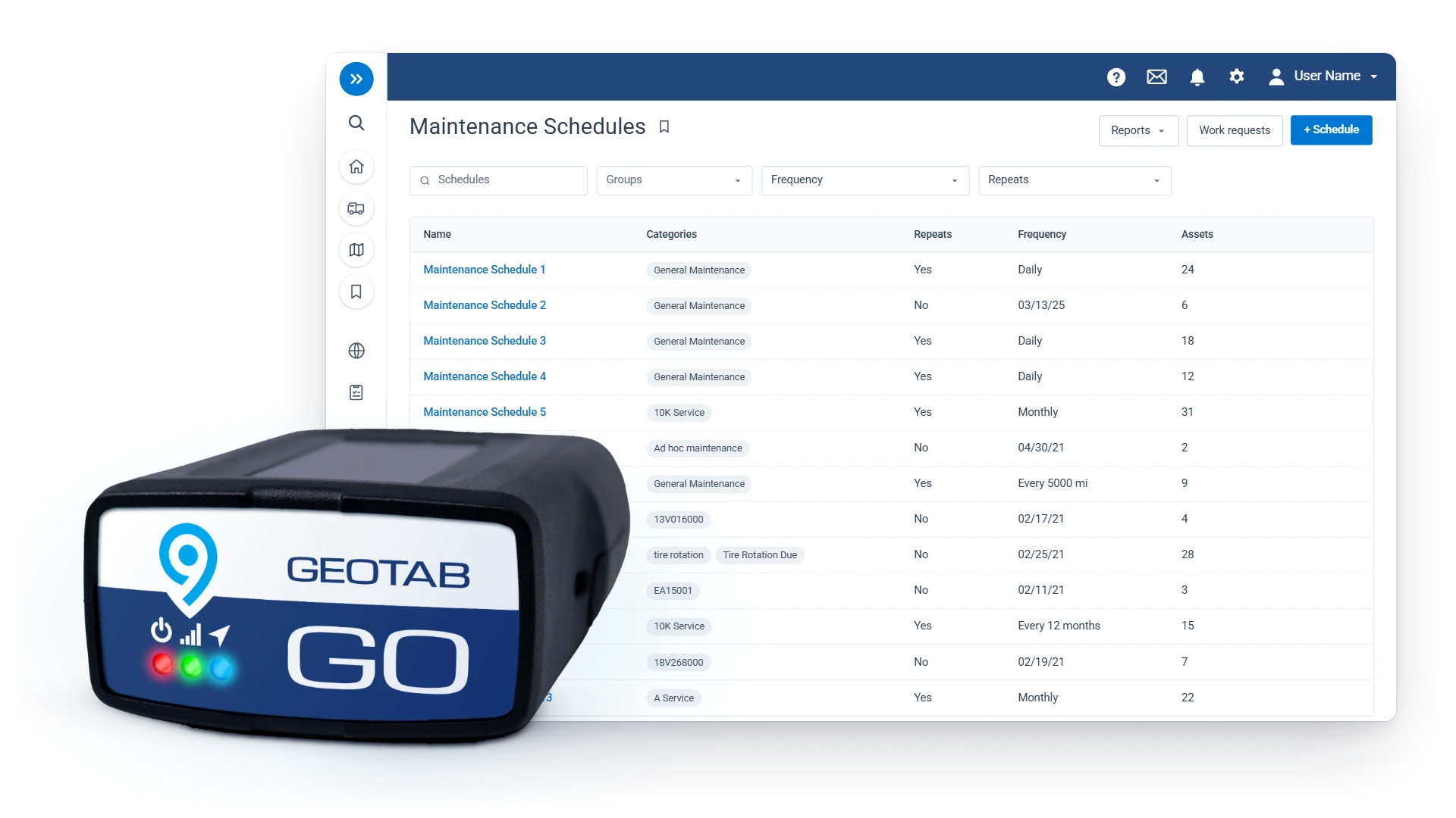
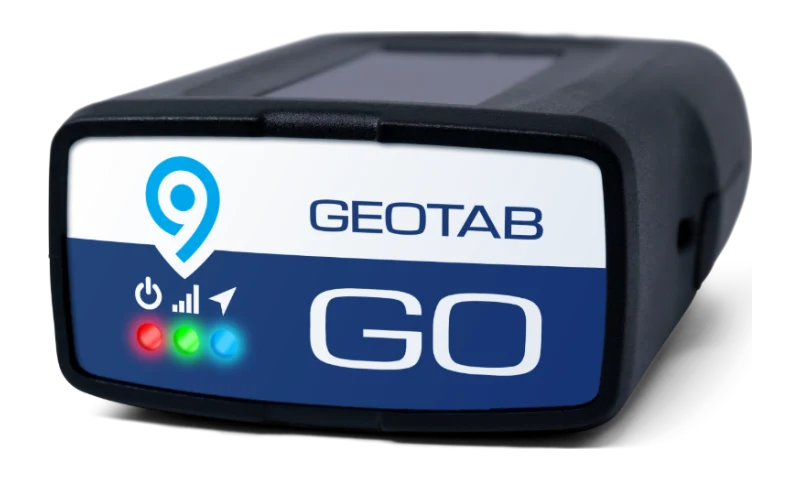
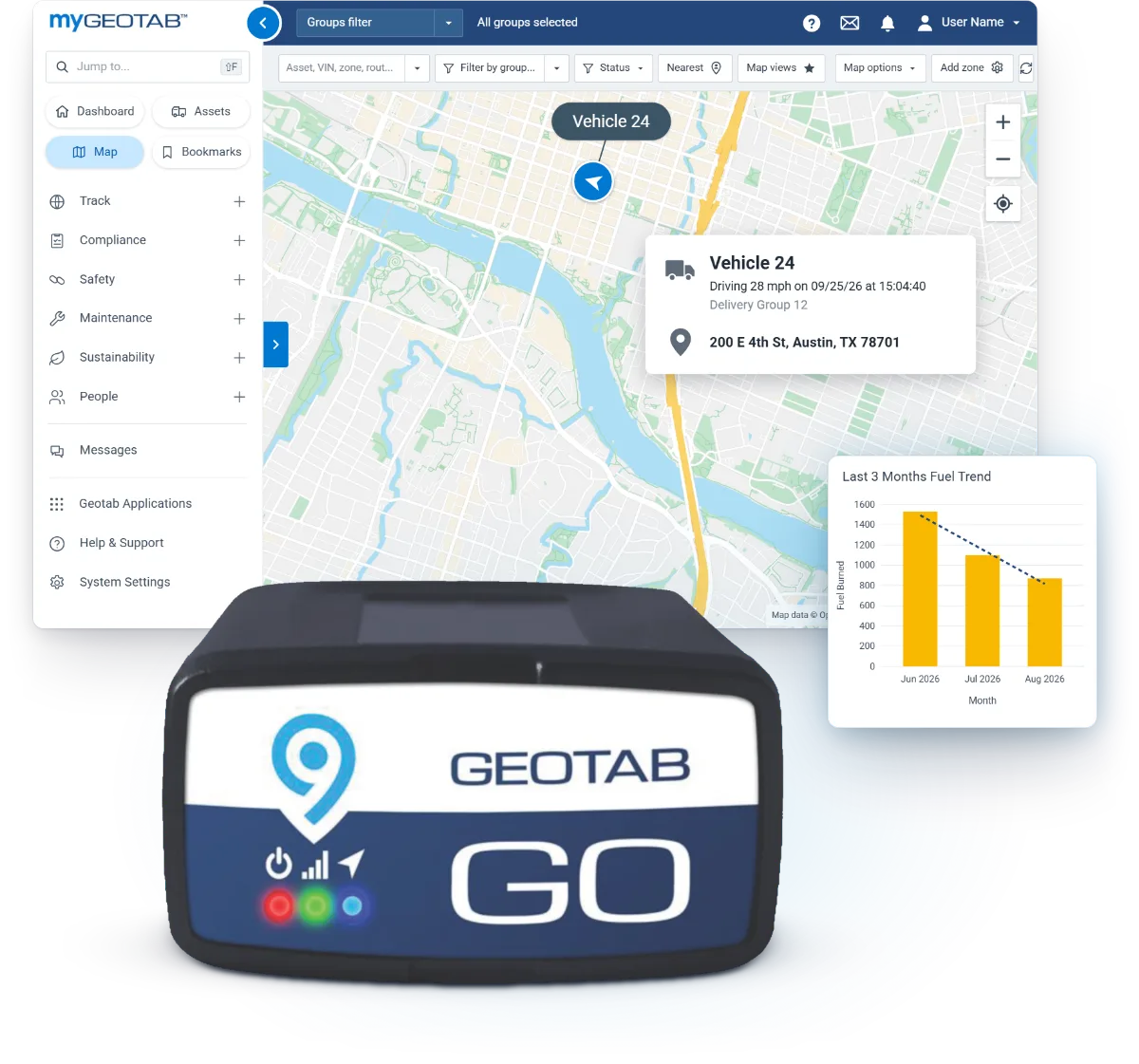
Geotab GO9 device with the MyGeotab Vehicle Map and the fleet Fuel Trend
“…we are able to see second-to-second, turn-by-turn location updates of our trucks in action. It has taken our live dispatch to another level.”
Marshalls Locksmith, Raleigh, NC
Geotab GO9 in front of MyGeotab Maintenance Schedules with a tire rotation alert

Storm Prep

Fault Ranking and Driver Risk Before the Storm

Find the failing trucks before storm season, and fix them in the shop on a calm day.

  • Critical trucks ready

    Faults ranked by breakdown risk tell the shop which digger to fix before the storm.

  • Fewer at-risk drivers

    Geotab ranks every driver by risk; active safety users see 28.7% fewer collisions than non-users.

  • Audit-ready records

    Storm response documented for regulators and leadership.

Our Advice

Hardware for Bucket Trucks, Staged Equipment, and Storm Duty

Get a free demo device

Built for the territory

Territory Zones, Storm Reports, and Call-Out Rules

We configure the zones, rules, and reports so a storm night runs on data, not radio traffic.

  1. Territory zones

    Substations and yards zoned, time logged by crew.

  2. Storm-mode reports

    Crew time by zone and district, ready for regulators.

  3. Digital inspections

    Phone inspections, defects sent to the shop.

  4. After-hours and call-out rules

    The on-call chain is pinged as a truck rolls.

  5. Groups by district

    Leads see their crews; the storm room sees all.

  6. Configured and supported here

    Set up before the storm hits.

District Setup

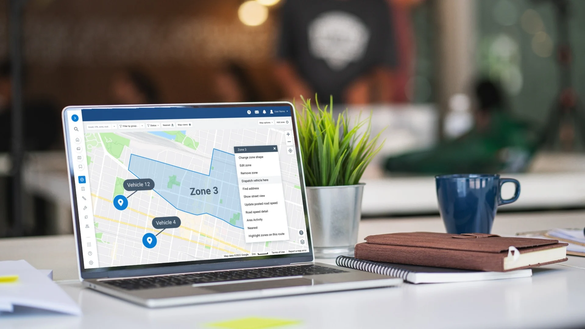
District Groups, Call-Out Alerts, and EOC Map

One call to our U.S.-based team changes any threshold before storm season.

  • Groups by district for every lead

    Each lead sees their own crews, and the storm room sees the whole territory.

  • Call-out rules that ping the on-call chain

    The on-call chain is pinged the moment a truck rolls after hours.

  • Live map shared with the EOC

    Shared live map views let the emergency operations center see what dispatch sees, with no extra logins.

Laptop on an office desk showing the Geotab MyGeotab map with a zone drawn and the zone menu open, for districts and territories

Questions

Utilities Fleet FAQ

Can Geotab support storm and outage response?

Yes. Dispatch sees every truck live, stages crews by zone before storms, and sends the closest crew to each outage.

Does it track specialized equipment?

Yes. Bucket trucks, digger derricks, and trailers all land on the same map, each with the tracker built for it.

Can it help with regulatory reporting?

Yes. Scheduled reports send regulators and management the records they ask for, down to storm crew time by zone.

Do the cameras record my crews all day?

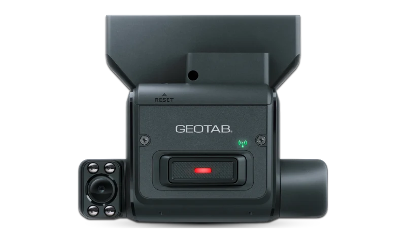
No. GO Focus cameras record around events, and a Road Only setup runs road-facing alerts with no in-cabin camera.

Can dispatch share a crew's position with the EOC during an event?

Yes. Shared live map views let the emergency operations center see what dispatch sees, no extra logins.

What goes on equipment that sits in the yard most of the year?

GO Anywhere battery trackers: self-installed, weather-sealed, and up to ten years of battery life.

Can a municipal utility buy Geotab through Sourcewell?

Yes. Municipal utilities are public agencies, so they buy Geotab on Sourcewell 102924-GEO, already competitively solicited, with cameras and asset trackers on the same contract through April 2029.

Your Territory Mapped Before the Storm

We will map your territory, crews, and rules in a free demo built around utility operations.

You reach a U.S.-based fleet specialist here, not a call center or a ticket queue.

Prefer to talk? (877) 771-2236