When the whole yard answers at once

Every plow, mower, and truck accounted for

Snow events, citizen requests, budget season: public works runs on proof. Geotab documents the work.

  • Live status across every department and yard
  • Storm and snow operations visible in real time
  • Service proof for citizen requests

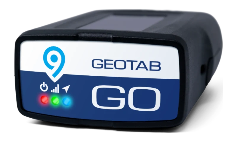
Geotab GO Anywhere Plus and the MyGeotab map of skid steers, lifts, and trailers

Service, Documented

When someone asks, you have the answer

Which streets were plowed, when the mower was there, why the truck was where it was: on record, automatically.

AVL for plows and sweepers

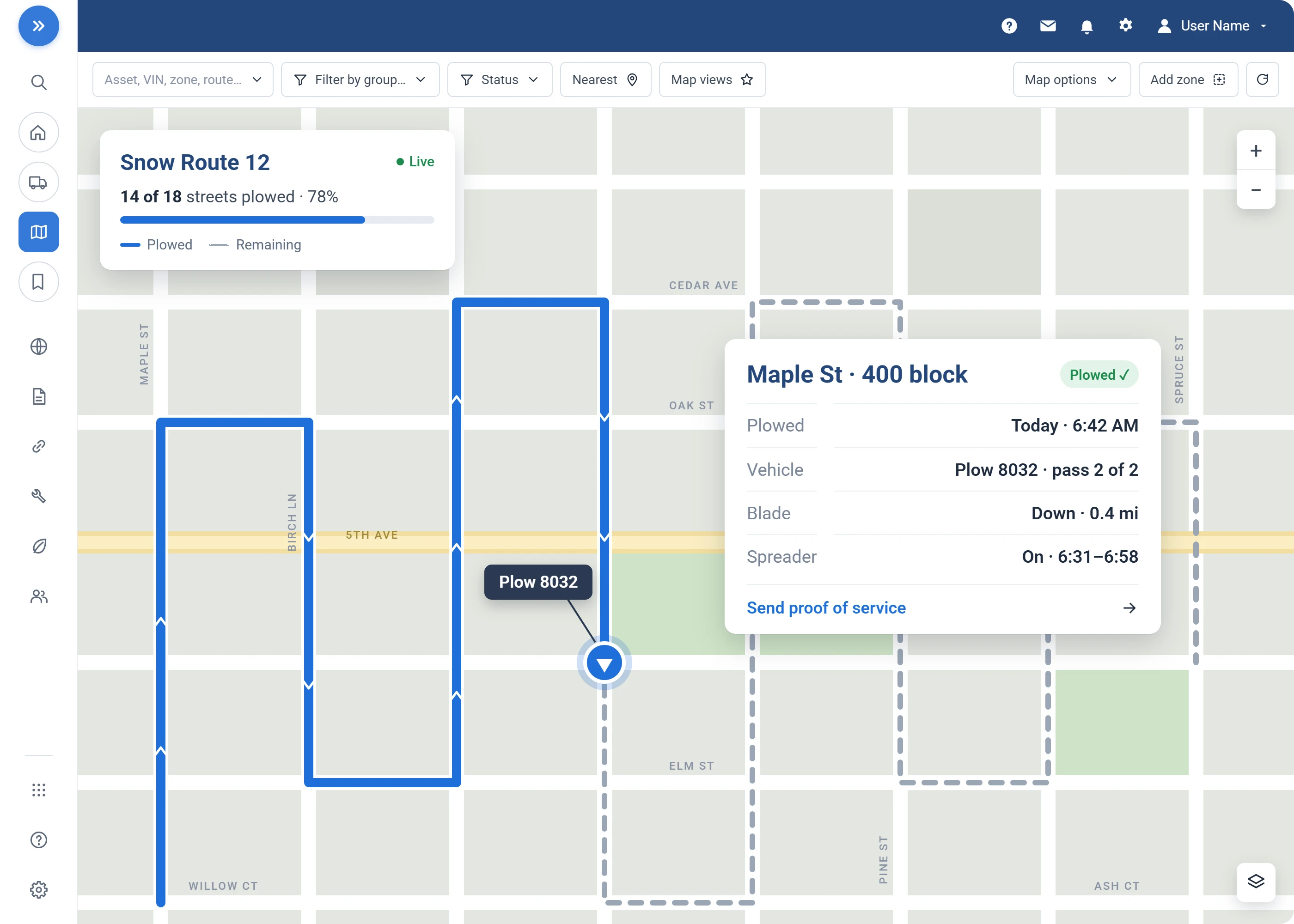
Live coverage maps during weather events, updated as trucks run their routes.

Proof of service

Answer citizen requests with the actual trip history, street by street.

Seasonal equipment uptime

Plows ready in November, mowers ready in May.

Budget-ready reporting

Utilization and cost data for council season.

What Changes

What your operation gets out of it

One live storm map

Every plow and spreader on one screen as the event unfolds.

See it in MyGeotab
Real MyGeotab widget: fleet utilization
Fewer duplicate trips

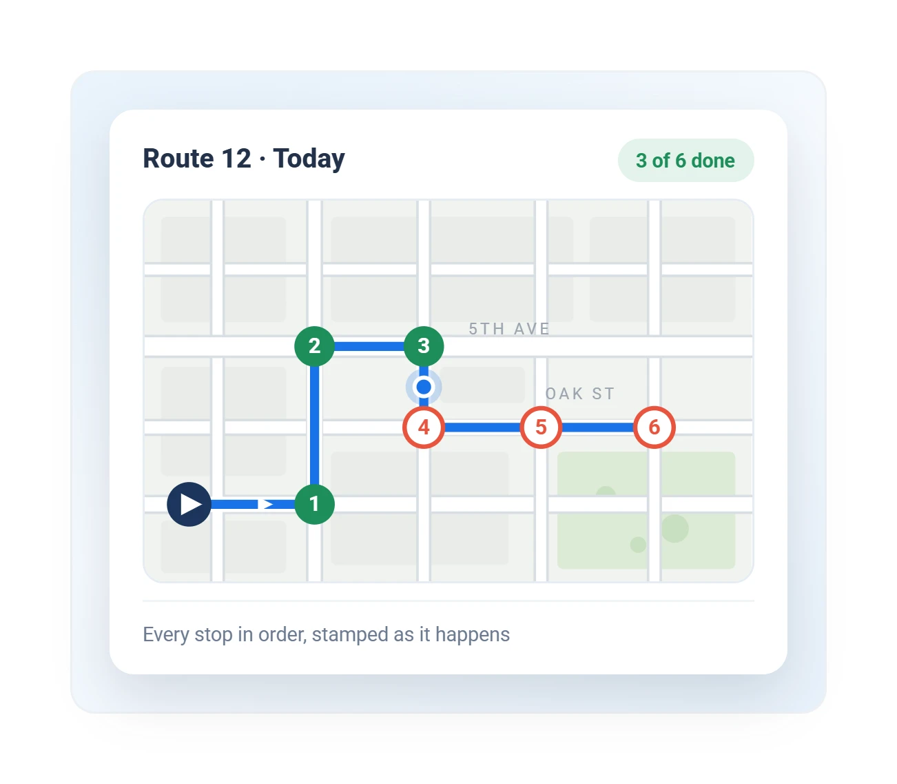
Live status stops crews from re-working done areas.

See it in MyGeotab
Real MyGeotab widget: route progress
Budgets defended with data

Utilization numbers justify every replacement request.

See it in MyGeotab
Real MyGeotab widget: fleet mileage

The Work, On The Record

The truck knows whether the blade was down

Location alone does not prove service. A plow that drove down Main Street with the blade up did not plow Main Street. Public works fleets wire the work itself into the record.

Plow and spreader inputs via IOX

Blade up/down and spreader on/off, so the map shows where the work happened.

Material usage

Salt and brine per route and per storm, as a report instead of an estimate.

Route completion by street segment

Service tracked segment by segment against your routes.

Seasonal equipment health

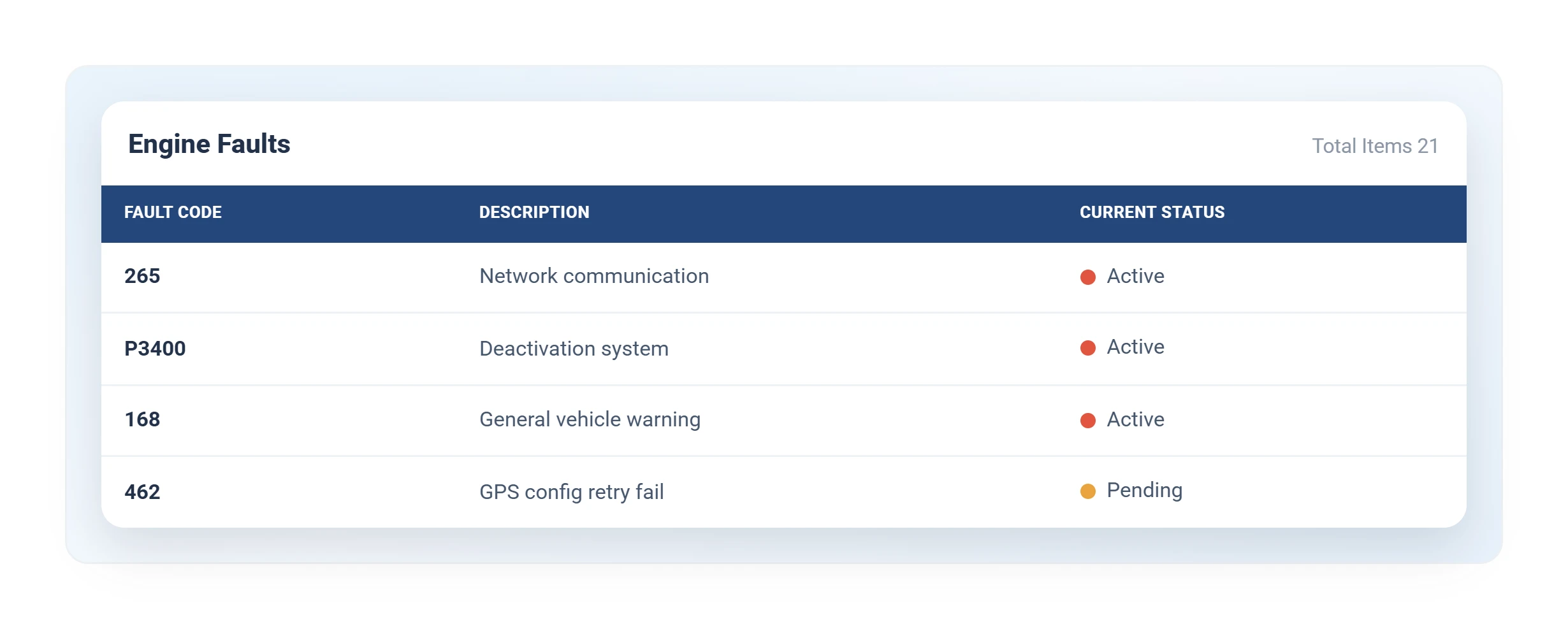
Fault and breakdown-risk ranking, so the shop works the right truck first.

Citizen Insights

Answer the "when is my street getting plowed" call before it is placed

Citizen Insights puts a public-facing service map on your agency's website.

Residents see which streets have been serviced, in buckets you define, which cuts incoming 311 calls.

Details that matter to the people who approve it

  • Three delivery options: embed, Geotab-hosted, or your own data feed
  • Privacy delay built in: live positions never exposed
  • Accessible and multilingual: WCAG, in English, French, and Spanish
  • Self-serve: published from MyGeotab, no IT project
  • Storm reset: clear the map in one action

The same platform runs utility fleet management and sanitation and waste fleets, so shared yards and cross-department crews stay on one login.

Built for the yard

What Geotab sets up for public works fleets

Snow, streets, water, parks: one department, many fleets. They all report to the same map.

Provable service

We map your routes and geofences up front, so every plowed street lands on the record without an operator lifting a pen.

Material tracking

We wire the spreader inputs through IOX, so salt and brine usage is logged automatically.

Citizen Insights

We publish your public service map and set the privacy delay, so residents can self-serve before the first storm.

GO Rugged for yellow iron

Heavy equipment and off-road assets tracked beside trucks and trailers.

District and ward zones

Coverage tracked by ward, district, or beat.

Cooperative procurement

Buy on Sourcewell 102924-GEO or NASPO ValuePoint MA3695, no RFP.

Configured, not generic

Rules tuned to your operation

We set the zones, thresholds, and alerts for how your fleet actually works.

Questions

Public works FAQ

Can we prove service was performed?

Yes. Route history and geofences document plowing, mowing, and collection with a record for every request.

Does it track heavy equipment?

GO Rugged tracks heavy equipment and yellow iron alongside trucks and trailers.

Can we buy through a cooperative contract?

Yes. Purchase via Sourcewell 102924-GEO or NASPO ValuePoint MA3695, with no RFP required. GO Anywhere asset tracking is available on the Sourcewell contract, covering the trailers, mowers, and attachments that never plug into an OBD port.

Can residents see where our trucks are right now?

Not live, unless you choose that. The public map runs on a delay you set (15 minutes by default) and shows service status, not vehicle positions in real time. What the public sees is entirely under your administrator's control, down to which vehicle groups appear at all.

What about our operators? Is this used against them?

The record is neutral: it documents work performed, and most of the time that protects operators, proving the street was plowed, the stop was serviced, the route was run. Set your coaching and discipline policy before rollout and share it with the crew; that is what separates good rollouts from bad ones. Where operators are represented, involve the union early.

Put the department on the map

We will set up a demo around your yards, routes, and seasonal equipment.

Prefer to talk? Call (877) 771-2236. No spam, ever.

We reply within one business day. No obligation, no spam. Prefer to talk? (877) 771-2236