When readiness is measurable
Vehicles ready at all times and data handled with government-grade security.

Mission Readiness
Readiness, response coordination, and post-incident clarity, with access controls your agency defines.
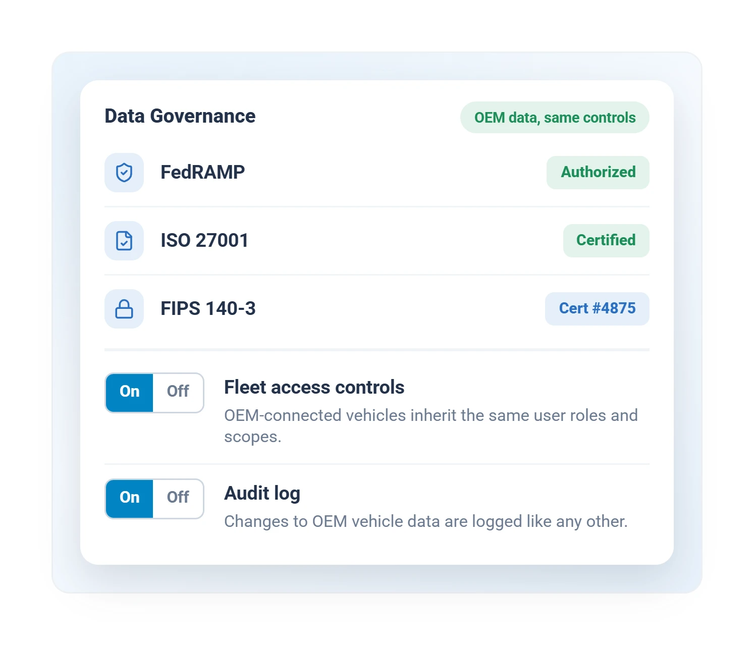
MyGeotab is FedRAMP Authorized, with FIPS 140-3 (cert #4875) validated cryptography.
Plain-language fault causes, severity ranking, and Risk of Breakdown, so critical units reach the shop before they fail.
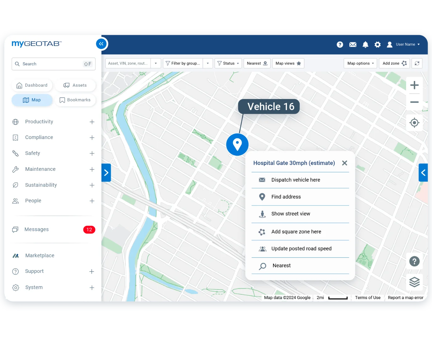
During a major event, commanders watch every responding unit move on the MyGeotab Map in real time.
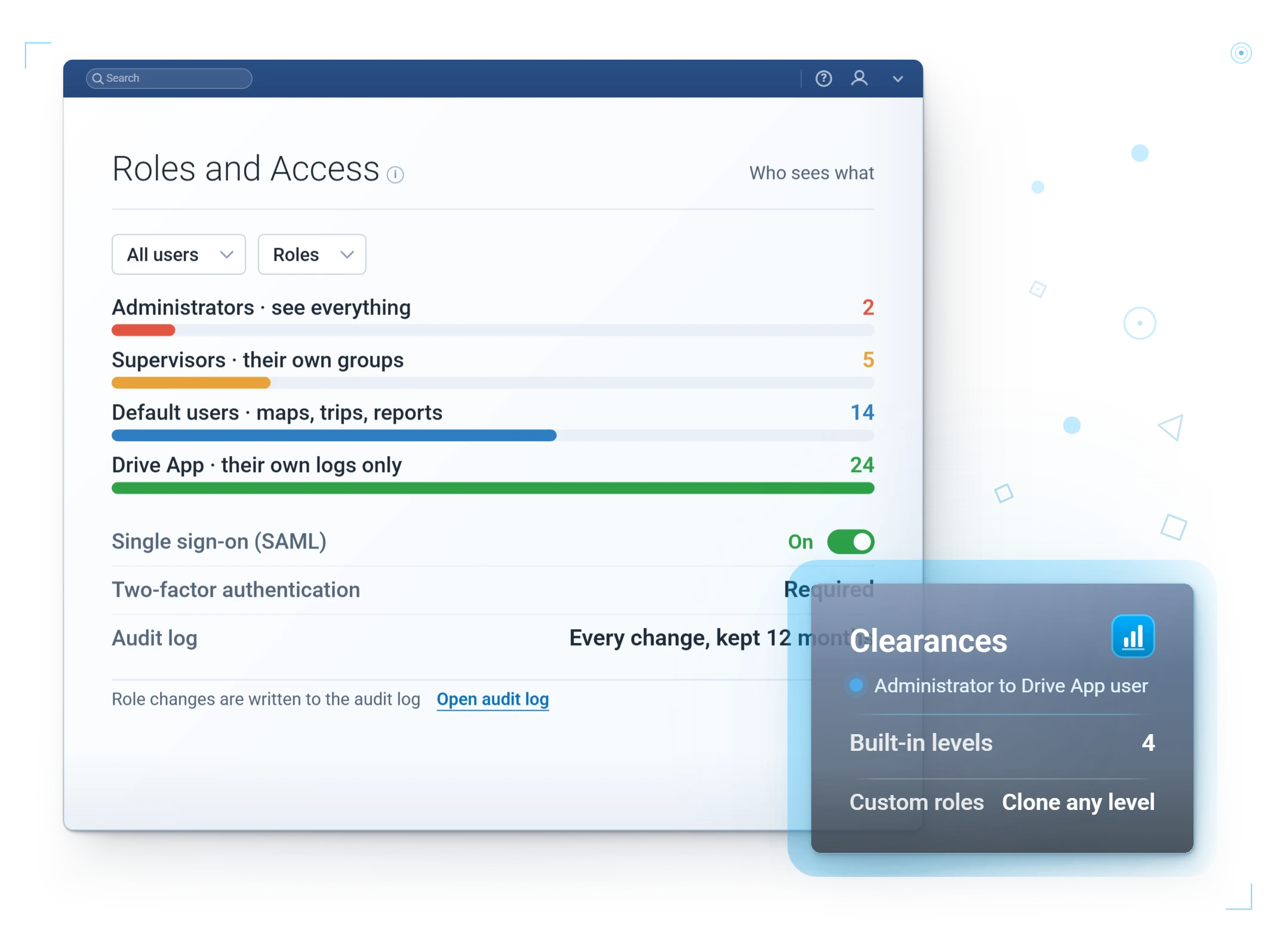
Role-based permissions decide exactly who sees what.
What Changes
Capability Specifics
Second-by-second position, so a response run is a continuous line, not dots a minute apart.
Emergency-equipment activation logged, so the record shows whether a unit was running code.
Cabin temperature alerts fire the moment the reading leaves safe range, before the dog is at risk.
Location shows where a unit is; breakdown-risk ranking shows which to service first, so a cruiser is in the shop on your schedule, not dead on a call.
Shift checks with photos, defects routed to the garage.
You decide who sees which vehicles, down to named individuals.
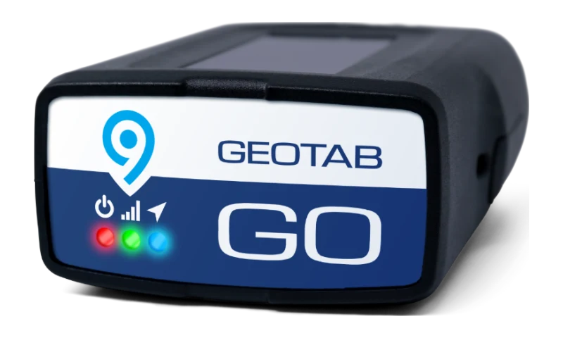
Cleared for the work your data represents. MyGeotab is FedRAMP Authorized and ISO 27001 certified, with FIPS 140-3 (cert #4875) validated GO devices and 24/7 monitoring. Bring your IT reviewer to the demo.
Built for readiness
Getting an agency live is its own project. Here is what deployment covers, start to finish.
Buy on Sourcewell 102924-GEO or NASPO ValuePoint MA3695, no public RFP.
Devices fitted on marked and unmarked units without pulling them from service.
Clearances set so dispatch, supervisors, and command each see only their units.
Hands-on MyGeotab and Geotab Drive training for dispatch, fleet, and officers.
After-action and utilization reports set up to your reporting schedule.
A dedicated GPSFMS team for changes as your fleet and policy evolve.
Configured, not generic
We set the zones, thresholds, and alerts for how your fleet actually works.
Questions
Yes, verifiably: MyGeotab is a FedRAMP Authorized cloud platform, ISO 27001 certified, with FIPS 140-3 validated GO devices (certificate #4875) and 24/7 security monitoring. Public safety agencies nationwide run on Geotab, part of 2,900+ public-sector customers and 1 million+ public-sector subscriptions (Geotab, 2024).
Maintenance scheduling and fault alerts help keep response vehicles ready when it counts.
Through Sourcewell 102924-GEO or NASPO ValuePoint MA3695, without a public RFP.
Yes, precisely. MyGeotab clearances are role-based and group-based: dispatch can see live positions, a supervisor can see their shift, and sensitive or unmarked units can be restricted to named individuals. Visibility policy is your agency's decision, and the system enforces whatever you set.
You should assume yes, as with any record your agency creates. Agencies that treat that as a feature do best: the same data that is discoverable is the data that documents lawful response, exonerates officers after complaints, and reconstructs collisions accurately. Retention is configurable to match your records schedule.
Some will at first. What changes minds is policy set before rollout (what the data is for, what it is not for) and the first time the data clears an officer instead of implicating one. We have watched that arc play out across many agencies, and we will share what works.
Keep exploring
Bring your IT and fleet teams. We will walk through security, access, and readiness together.