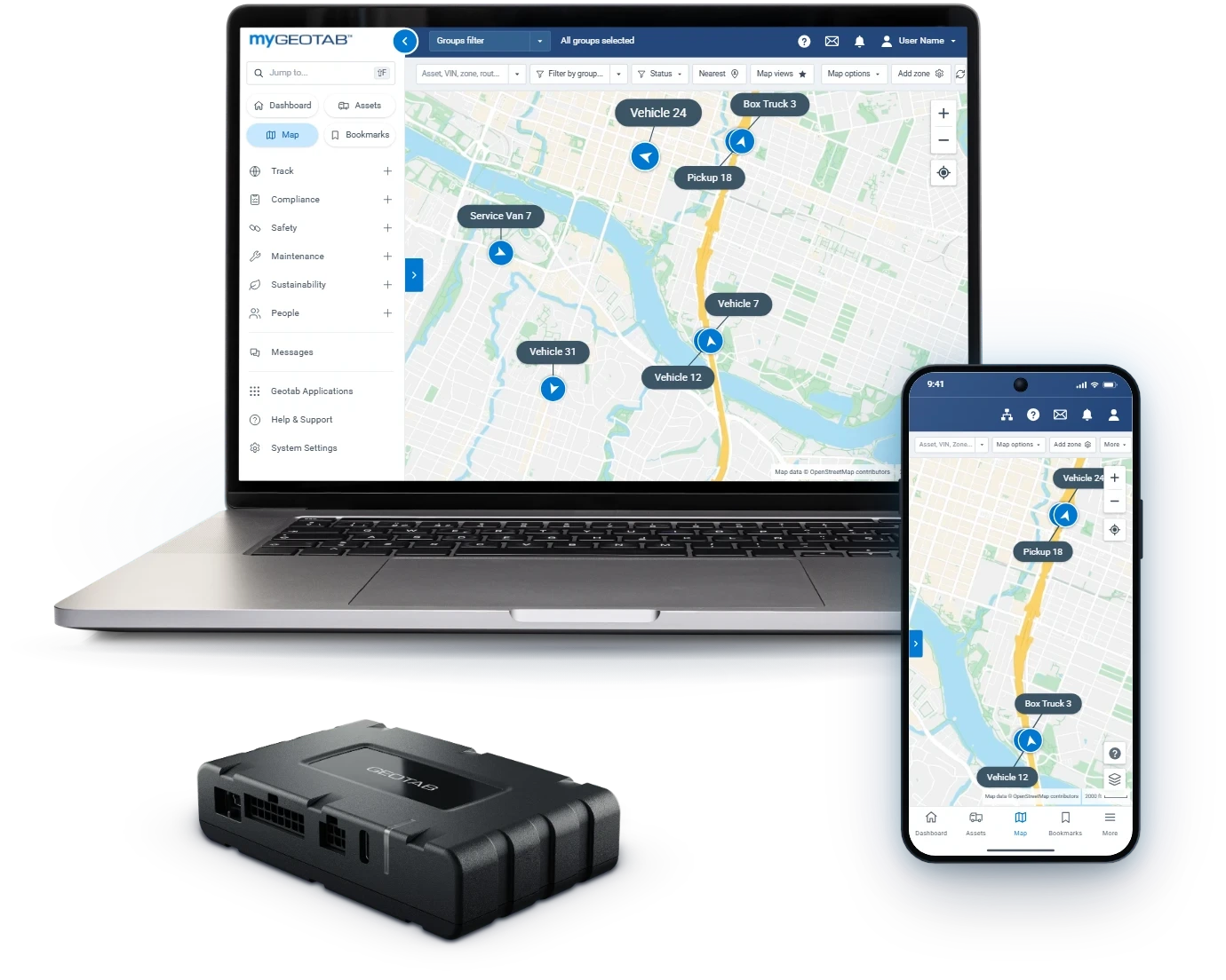
The first storm of the season finds every gap in a winter plan. A plow nobody can locate, a route that never got its second pass, a resident on the phone sure their street was skipped.
Snow plow GPS tracking closes those gaps before the snow falls. With Geotab, every plow, spreader and support truck reports to one live map, and the work behind each route goes on the record automatically.
Early October is the time to set it up. Routes, zones and rules built now are already running when the first storm arrives.
Live Plow Locations From Every Yard on One Map
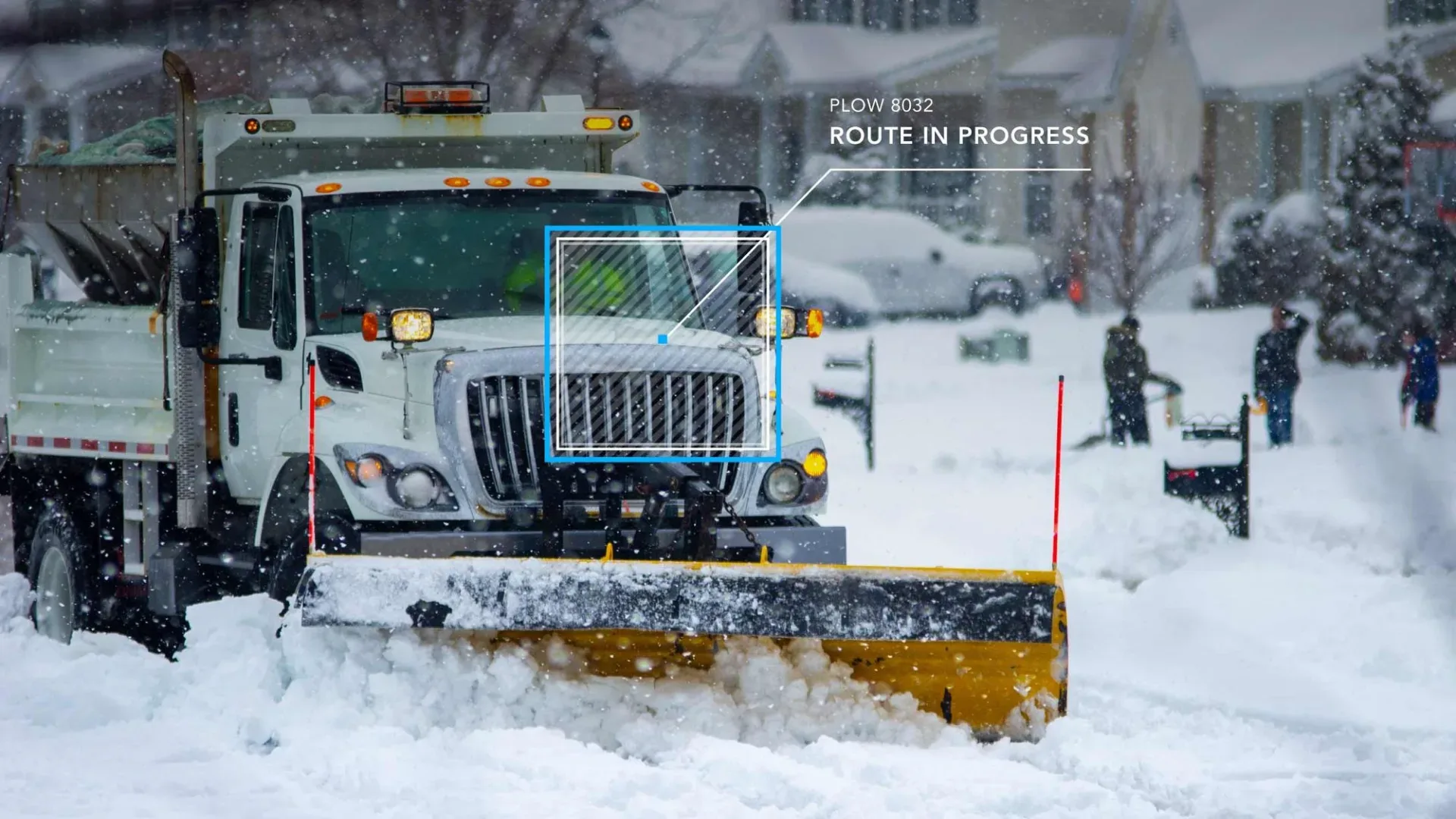
During a snow event, the storm room needs one picture, not a round of radio calls. Geotab puts every plow and spreader on one live AVL map in MyGeotab, updated as trucks run their routes.
Live status keeps crews off streets that were already run. Fewer duplicate trips means more of every shift goes to the roads still waiting for a plow.
Multi-yard operations keep their structure. Snow, streets, water and parks run as separate groups, and leadership sees every yard on the same map.
Public safety and transit run on the same agency account, each with its own view. It is the platform 2,900+ public-sector customers already run on. See how it works across departments with Geotab for government fleets.
Snow Plow Tracking With Blade and Spreader Records

Location alone does not prove service. A truck can drive a street with the blade up, so public works fleets record blade position alongside location.
The GO9 in each truck logs blade up or down and spreader on or off through auxiliary inputs, with no driver input. The map then shows exactly where the work happened.
Spreader on and off time is logged per route and per storm. Supervisors get a clean record of when and where each spreader ran, ready for the review after every event.
See the full plow and spreader setup on our public works fleet tracking page.
Route Completion: Streets Covered and Streets Still Waiting
Geotab's Public Works module tracks route completion street segment by street segment, against the routes you actually run. Mid-storm, supervisors see which streets are done and send the next truck where it is needed.
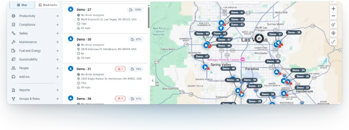
District and ward zones add a second view. Each council district's coverage stands on its own, and the storm room still sees the whole map.
When the storm ends, the same record shows coverage segment by segment. Every plowed street lands on the record without an operator lifting a pen.
Plow Records That Answer Resident Complaints and Claims
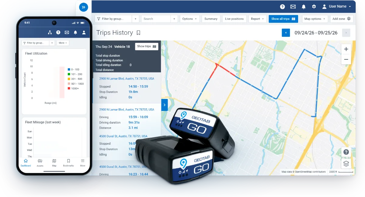
When a resident calls to say their street was skipped, the answer is the trip history: which plow ran it, at what time, and whether the blade was down. Your staff answers with facts instead of a promise to look into it.
The same record matters when a damage claim arrives weeks later. MyGeotab keeps two years of data by default, and administrators can adjust it. Trip histories and audit logs export for public records requests, and retention follows your records policy.
Operators gain from it too. The record backs them up, because it shows the street was plowed and the route was run.
Citizen Insights: A Public Plow Map for Residents

During a storm, residents want to know one thing: has my street been plowed? Citizen Insights answers it with a public service map on your website, built to reduce 311 call volume.
Streets show how recently they were serviced, in categories your team sets. A privacy delay, 15 minutes by default, means live truck positions are never exposed.
Your team publishes it from your own dashboard, with no IT project. Embed it on your site, use a Geotab-hosted page under your brand, or feed your own site. It meets WCAG accessibility requirements, publishes in English, French and Spanish, and resets in one action when new snow covers plowed streets.
Buy Snow Plow Tracking on Sourcewell
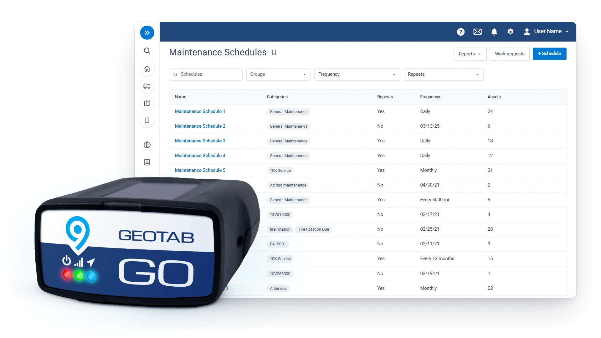
Geotab is on Sourcewell contract 102924-GEO, valid through April 2029, so your agency buys on a contract already competitively solicited. Cameras and asset trackers are on the same contract.
Reference the contract number and we prepare the quote and the PO language your buyer needs. Here is how to buy Geotab on Sourcewell.
Setup is our job, not yours. We build your groups, zones and rules before the first device ships, every device arrives configured and Plug-N-Play, and our U.S.-based team stays on the phone until every device reports.
The same platform gets the trucks ready for the season. Fault codes ranked by breakdown risk tell the shop which plows to service first, so seasonal equipment is serviced before its season starts. See how Geotab fleet maintenance works.
FAQ
What is snow plow GPS tracking?
Snow plow GPS tracking puts every plow on one live map and records where each truck drove, when the blade was down and when the spreader was on. With Geotab, that record builds automatically on every route, so public works teams manage the storm live and prove the work afterward.
Can Geotab show when a plow blade was down?
Yes, Geotab logs blade up or down and spreader on or off automatically through auxiliary inputs on the GO9, with no driver input. The status is recorded alongside location, so the map shows where plowing actually happened.
Can residents see where our snow plows are?
Residents see which streets have been serviced, not where a plow is right now. Citizen Insights publishes a public service map on your website with a privacy delay, 15 minutes by default, so live truck positions are never exposed.
Can we buy snow plow GPS tracking through Sourcewell?
Yes, Geotab is on Sourcewell contract 102924-GEO, valid through April 2029, with cameras and asset trackers on the same contract. Reference the contract number and we prepare the quote and the PO language your buyer needs.